Waterfalls 🢔 Geological wonders 🢔 Categories of wonders
Wonder
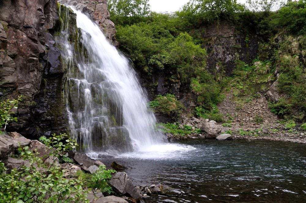
Heygötufoss (Austurgil)

 In short
The trail towards Svartifoss crosses a tributary of Stórilækur (Bærjargil) – Austurgil. Some 60 m below the bridge the stream forms a small waterfall.
 29.8%
29.8%
GPS coordinates
64.0191 N 16.9788 W
Location, address
Stream
Austurgil
Map of the site
Travelers' Map is loading...
If you see this after your page is loaded completely, leafletJS files are missing.
If you see this after your page is loaded completely, leafletJS files are missing.
